Controlled Eruptions

Imagine you are standing on a flat plain, looking over a beautiful, peaceful view. Suddenly, the ground in front of you erupts in a violent explosion. The power of the blast knocks you down. You watch, stunned, as ash streams toward the sky. As the explosion stops and the ash begins to settle, you see that the ground in front of you has simply disappeared. The explosion seems to have erupted inwards, hollowing out the ground. A giant crater is all that remains.

You have just witnessed perhaps the most elusive type of volcano: a maar volcano.

An aerial view shows the eruption of the Ukinrek Maars in Alaska in 1977. Maar eruptions are rarely caught on camera due to the sudden and difficult-to-predict nature of this type of volcano.
(Juergen Kienle)
Scientists use models and simulations, like these, to investigate maar eruptions and formation. This simulation shows pressurized gas released into a system of glass beads to imitate a maar eruption and to represent what is occurring beneath the Earth's surface.
(Robin Andrews)

Maar volcanoes occur all over the world. They are the second most common type of volcano on continents and islands. Maar volcanoes erupt suddenly, which makes them difficult to predict. It is even more difficult to see these volcanoes erupt in real-time. Scientists usually only know a maar volcano has erupted by observing what is left behind.

before eruption
stage 1
stage2
stage 3
stage 4

Have you ever poured water onto a hot pan? Did you notice that the water turned to steam when it hit the pan? A maar volcano eruption is very similar. Maar volcanoes erupt when a very hot source of magma or lava interacts with water underground. The combination of hot magma and water produces a violent, steam-fueled explosion. The force of the steam shatters the layers of rock above into tiny pieces and sends them upwards in a column of ash and rock, like a bomb. When the eruption finally stops, a large, cone-shaped crater remains. As ash and rock fall back to the ground, they may form rings around the crater. Over time, the crater may fill up with water and form a lake.

Due to their dangerous nature, maar volcano eruptions are a challenge to scientists who try to study them. These volcanoes erupt with little to no warning, so it is very difficult to observe an eruption as it happens. It can also be hard to predict where they will erupt, since the volcanoes can occur both on plate boundaries and in the interior of a plate. Maar volcanoes usually only erupt once which gives scientists just one chance to observe the event. The eruptions are also incredibly violent and destructive. What was once solid ground can disappear in seconds into a cloud of steam, ash, and rock. Given all these challenges, how can scientists study maar volcanoes?

Due to the volatile nature of maar volcanoes, scientists set up simulated eruptions to learn more about the processes associated with geological hazards. Controlled explosion experiments, like these, allow scientists to study the effect of energy and explosion on crater shape and ejecta distribution.
(Center for Geohazards Studies at the University at Buffalo)

One of the best ways to study a maar volcano eruption is to recreate it in lab experiments or through computer simulations. These experiments and simulations allow the scientists to model an eruption, make predictions, and most importantly, safely observe a maar-like eruption.

Models can be large or small, and may use different types of material. For example, one group of geologists studied maars by setting up a simulation that you could fit on your lab bench. They filled a glass case with small pieces of rock and colored beads, and caused an explosion using compressed gas. When the rock and beads finally settled, the beads helped the scientists see how the explosion moved material. Another group of scientists set up a model at a larger scale. They buried explosives under layers of asphalt, sand, and gravel and filmed the explosion.

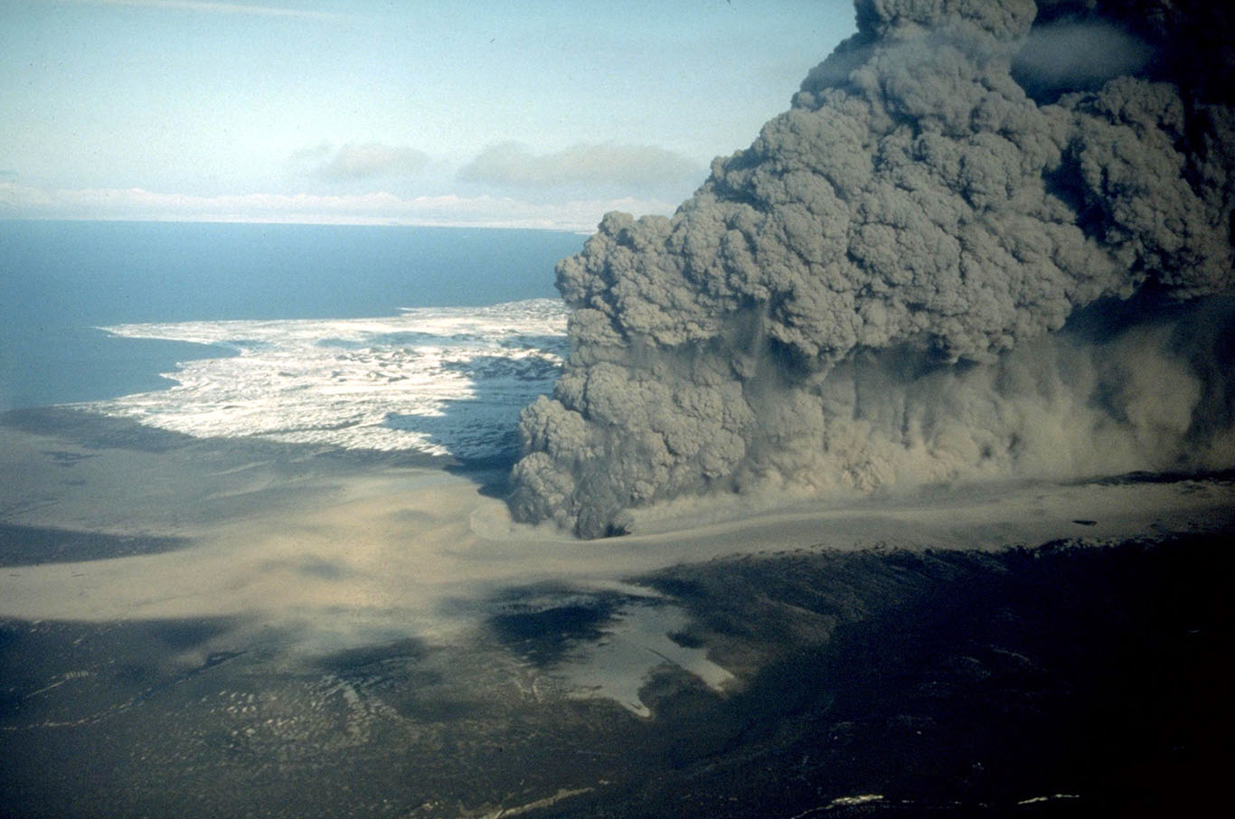
The scientists were able to observe how much energy was in the explosion. The energy in an eruption is closely linked to how much damage it can cause. What the scientists learn about the power and damage of maar volcano eruptions can help people who live where maar volcanoes may erupt.

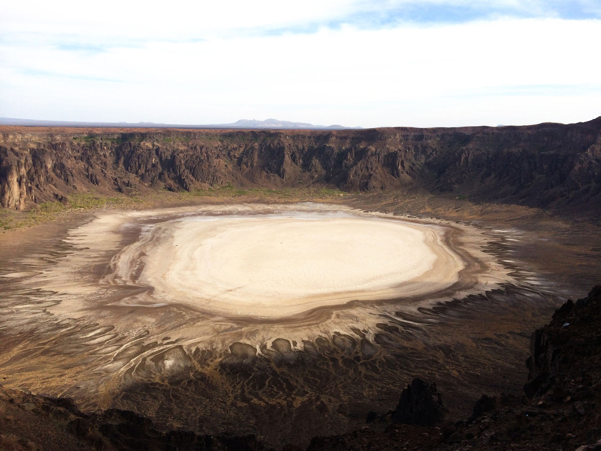
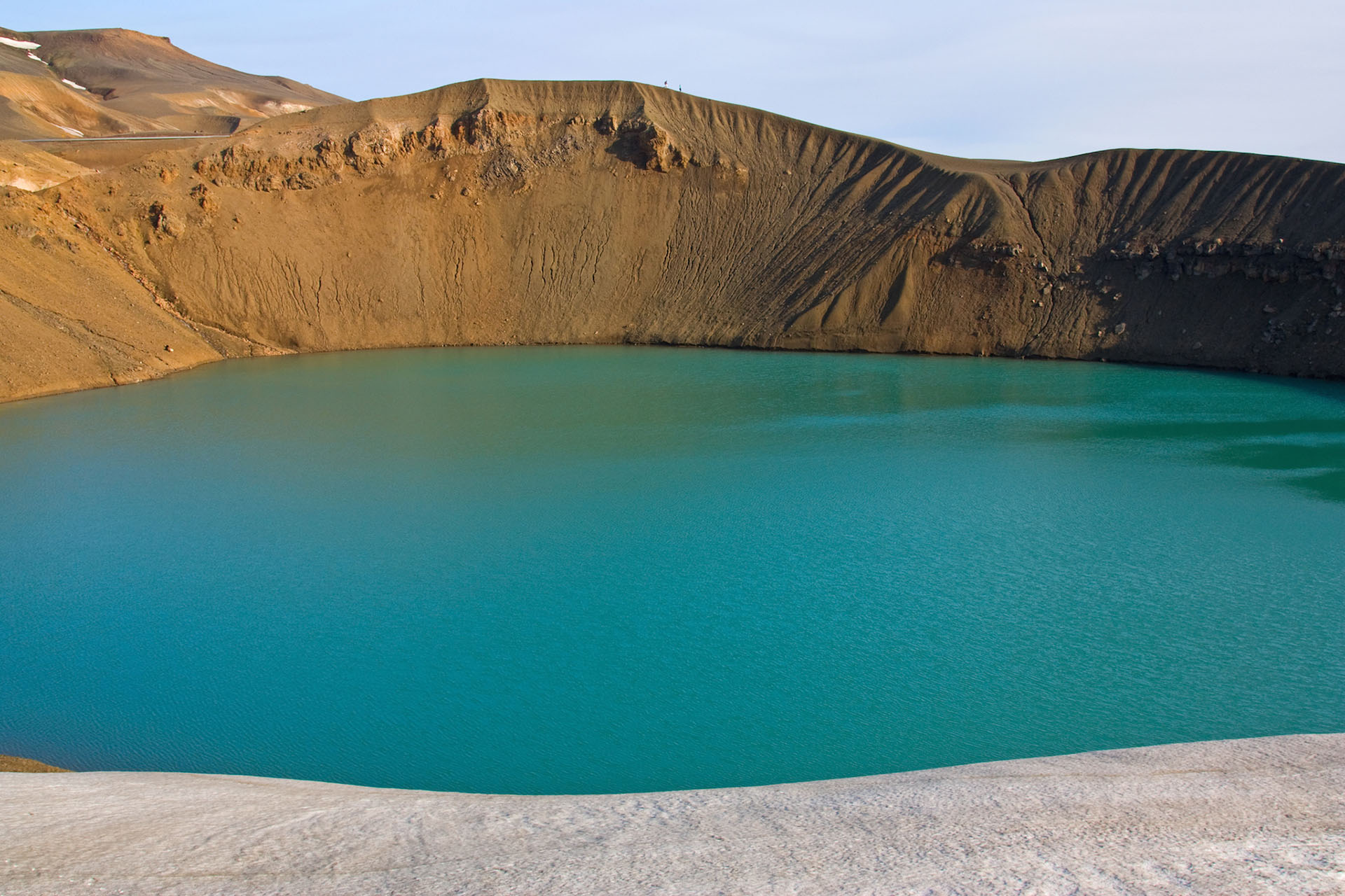
Unexpected, dangerous, and fleeting, maar volcanoes still remain a partial mystery to geologists. Thankfully, experiments and simulations allow the scientific community to keep exploring why and how maar volcanoes erupt.

This crater lake, in Iceland, formed from the depression created by an explosive, volcanic maar eruption, which then filled with water.
(sandatlas.org/Shutterstock)

Tamu Massif

A Giant in the Deep

Investigate the largest volcano on Earth hidden far beneath the ocean.

The Mid-Atlantic Ridge

40,000 Mile Long Volcano

Investigate mid-ocean ridges and the fascinating life that thrives in this environment.

San Andreas Fault

Shake Alert

Investigate how technology is providing warning to residents living along the San Andreas Fault.

Maar Volcanoes

Unexpected Eruptions

Investigate one of the most unpredictable types of volcanoes in the world.

Fire Under the Ice

Volcanoes in West Antartica

Investigate how scientists detected potentially active volcanoes underneath sheets of ice in Antarctica.

Yellowstone

A Sleeping Supervolcano

Investigate the volcano lurking underneath one of the most popular national parks in the United States.

  • anomaly

    noun

    Something that is unexpected, abnormal, or differing from what is common.

  • crater

    noun

    A bowl-shaped hole in Earth's surface.

  • earthquake

    noun

    A sudden shaking of the ground producing seismic waves or vibrations, which may result in destruction. An earthquake occurs when slabs of rock suddenly slip past each other at a break in Earth's crust, called a fault.

  • geyser

    noun

    A type of hot spring that sends heated water and steam up into the air.

  • lava

    noun

    Hot, molten rock that has reached Earth's surface through volcanic eruption or a crack in the crust.

  • mid-ocean ridge

    noun

    A long line of mountains on the seafloor, formed by divergent plate boundaries and the upwelling of magma. Seismic and volcanic activity are common along these regions.

  • seismometer (or seismograph)

    noun

    A tool to measure the movement of the ground. This instrument can measure seismic activity, such as the force and duration of an earthquake.

  • tectonic plate

    noun

    Large, slowly moving, slab of solid rock that make up Earth's crust.

  • convergent boundary

    noun

    A location where tectonic plates collide with each other. When two continental plates push toward each other, they fold together and form mountain ranges.

  • crust

    noun

    The outermost layer of Earth. The crust is the coolest and thinnest layer of Earth, ranging from about 5 to 70 km thick. The crust is divided into large slabs of rock, called tectonic plates.

  • eruption

    noun

    Molten rock, ash, and steam ejected from a volcano or geyser.

  • horizontal

    adjective

    At a right angle to the vertical or parallel to the ground level.

  • maar

    noun

    A broad volcanic crater typically filled with water. Maars are created from the explosion that occurs when groundwater meets hot magma.

  • p-wave

    noun

    A type of seismic wave, called primary waves, because they are the first waves from an earthquake to reach a seismograph. P-waves are compressional waves, shaking the ground back and forth, towards and away from the direction the wave is traveling.

  • steam

    noun

    Water in the gas phase.

  • transform boundary

    noun

    A location where tectonic plates slide horizontally past one another. The plates grind together causing frequent earthquakes.

  • convergent with subduction boundary

    noun

    At convergent plate boundaries with subduction, plates push together, and one plate moves underneath the other. This type of boundary may result in the formation of trenches, volcanoes, islands, and earthquakes, which can trigger tsunamis.

  • divergent boundary

    noun

    A location where tectonic plates move away from one another. When plates move apart, lava and magma rise to the surface and make new rock. This type of boundary may result in the formation of small volcanoes, shield volcanoes and rift valleys.

  • fault

    noun

    A fracture or crack in the rocks that make up Earth's crust.

  • hydrothermal vent

    noun

    An opening in the sea floor where magma meets water. This interaction causes heated water, filled with minerals, to rise up from the opening.

  • magma

    noun

    Hot liquid or molten rock located beneath the surface of Earth.

  • seismic wave

    noun

    The vibration from an earthquake that travels within Earth or along Earth's surface.

  • s-wave

    noun

    A type of seismic wave, called shear waves or secondary waves, because they reach a seismograph and shake the ground second, after an earthquake occurs. S-waves shake the ground perpendicularly to the direction the waves are traveling.

  • volcano

    noun

    An opening in Earth's crust which releases hot gases and molten rock.